 Frenchy Coffee
Upper Manhattan can feel like several different parts of New York packed along one island. Harlem, East Harlem, Washington Heights, and Inwood each have their own history and pace, so a little planning helps you see how they fit together.
Here’s how to read the area’s boundaries, choose neighborhoods to explore, and plan around its parks, museums, and transit.
We analyzed 6 pages (Wikipedia, Elliman, CityRealty, NeighborhoodScout, Brick Underground, NYHabitat) about Upper Manhattan neighborhoods and found that only 1 lists more than one southern boundary, with 4 cutoffs from 96th to 155th Street. 4 of the 6 give no boundary at all.
What Does Upper Manhattan Include?
Upper Manhattan is the northern part of Manhattan, but there isn’t one agreed southern boundary. Some maps begin it at 96th Street. Others use 110th, 125th, or even 155th Street. The difference comes from how people use the term: a broad regional label in some settings, a narrower one in others.
A common neighborhood list includes Harlem, East Harlem, Washington Heights, and Inwood. It can also include Morningside Heights, Manhattan Valley, and Marble Hill. Smaller areas such as Sugar Hill, Hamilton Heights, Fort George, and Manhattanville sit within or beside those larger neighborhoods.
That list is a guide, not a set of official lines. A local may describe a place by its closest avenue or station rather than by a neighborhood name. The edge between the Upper West Side and Morningside Heights, for example, can feel less clear on the ground than it looks on a map.
One useful way to orient yourself is to think in broad bands. East Harlem sits on the east side, near the Harlem River. Harlem covers a wide central area. Washington Heights lies farther north along the Hudson River, with Inwood at the island’s northern tip. Marble Hill is a geographic exception: it belongs to Manhattan but sits on the mainland, across the Harlem River from the main island.
“Uptown” can also cause confusion. It may mean Upper Manhattan, or it may refer more broadly to places north of 59th Street. On a subway, though, uptown usually means the direction of travel, not a precise neighborhood or boundary.
For a visitor, the useful question isn’t whether a block meets one map’s definition. It’s which area you’re trying to reach, and how far that is from the next stop on your plan.
How Upper Manhattan’s Neighborhoods Differ
Neighborhood names here describe real differences in place and history, but no single label captures every block. Harlem itself includes several distinct areas. East Harlem, also called Spanish Harlem or El Barrio, sits east of central Harlem and has its own cultural history and local identity.
Central Harlem is closely linked with African American cultural life and the Harlem Renaissance. The Apollo Theater on West 125th Street is among its best-known landmarks. Around 125th Street, busy commercial blocks meet residential streets and historic buildings. The name Harlem can cover a broad area, so check the exact address before deciding how much ground you can cover on foot.
West Harlem includes areas such as Manhattanville, Hamilton Heights, and Sugar Hill. Morningside Heights lies nearby, around Columbia University and the Cathedral of St. John the Divine. Its campus setting gives it a different feel from the commercial stretch of 125th Street or the residential blocks farther north.
East Harlem has a distinct place in the city’s Puerto Rican and Latino history, alongside many other communities. El Barrio is a common name for the neighborhood, though its residents and streets aren’t all the same. For more local context, see this guide to East Harlem.
Washington Heights sits north of Harlem along the Hudson. Dominican culture is a strong part of its identity, and Fort Tryon Park, home to The Met Cloisters, draws visitors to the area’s northern end. Inwood, farther north, is largely residential.
These areas are close on a borough map, but they don’t make one compact sightseeing district. It’s often easier to pick one cluster for a few hours than to try to cover Harlem, Washington Heights, and Inwood in one long walk.
Rivers, Hills, and the Shape of the Neighborhoods
Upper Manhattan’s layout makes more sense when you look beyond the street grid. The Hudson River runs along the west side, while the Harlem River bends around the north and east. The island narrows toward Inwood, and Marble Hill sits across the Harlem River on the mainland.
Those waterways shape the routes people use. Washington Heights stretches along the Hudson, with connections across the river to New Jersey. Inwood sits near the meeting of the Hudson and Harlem rivers. East Harlem faces the Harlem River, which separates it from the Bronx.
The ground rises and falls, too. The Heights in Washington Heights is a useful clue: streets and paths can climb, and a route that looks short on a map may feel steep. Inwood Hill Park preserves a forested and marshy character that differs from the more built-up blocks farther south.
For broad orientation, Central Park’s northern edge is at 110th Street. But that isn’t a universal border for Upper Manhattan. Some definitions begin above 96th Street on the East Side, while others use higher streets across the island. A neighborhood map can help, but an exact address gives you a better sense of distance.
Manhattan’s first inhabitants were Lenape people, and the island’s waterways and trails shaped movement long before today’s street grid. The island’s geography is part of what shapes its neighborhoods and routes.
For a day out, use the rivers and parks as anchors rather than trying to walk in a straight line. A visit to The Met Cloisters pairs naturally with Fort Tryon Park around it. Inwood Hill Park makes more sense as its own destination than as a quick stop between far-apart Harlem landmarks.
History and Cultural Layers Across Upper Manhattan
The area’s history isn’t one story. It includes Lenape land, colonial settlement, waves of migration, Black cultural movements, and the everyday lives of people who have shaped each neighborhood over time.
Harlem became a major center of African American art, music, literature, and public life during the Harlem Renaissance in the 1920s. That cultural history still gives the neighborhood a distinct place in New York. The Apollo Theater is one part of the story, but it extends beyond a single venue or a single decade.
East Harlem has its own history, often associated with Puerto Rican culture and the name El Barrio. Its population and identity have changed over time, and today the neighborhood includes residents with varied backgrounds. Those layers are part of why local names matter: “East Harlem,” “Spanish Harlem,” and “El Barrio” can point to overlapping places, but each carries a different history or emphasis.
Washington Heights is strongly associated with Dominican culture. The neighborhood also holds histories tied to migration, housing, and the growth of the city northward. The Morris-Jumel Mansion, the oldest surviving house in Manhattan, offers another way into local history.
Street names preserve another layer. Some avenues have official names honoring major figures, while many residents still use familiar older names. Manhattanville also retains traces of an earlier street pattern, including the bend in West 125th Street. These details are reminders that the city’s neat grid doesn’t explain every corner.
To explore well, leave room for more than landmark photos. Notice how a residential block changes as you move toward a commercial avenue. Pause at a park edge or a neighborhood institution, and consider how the place connects to the community around it.
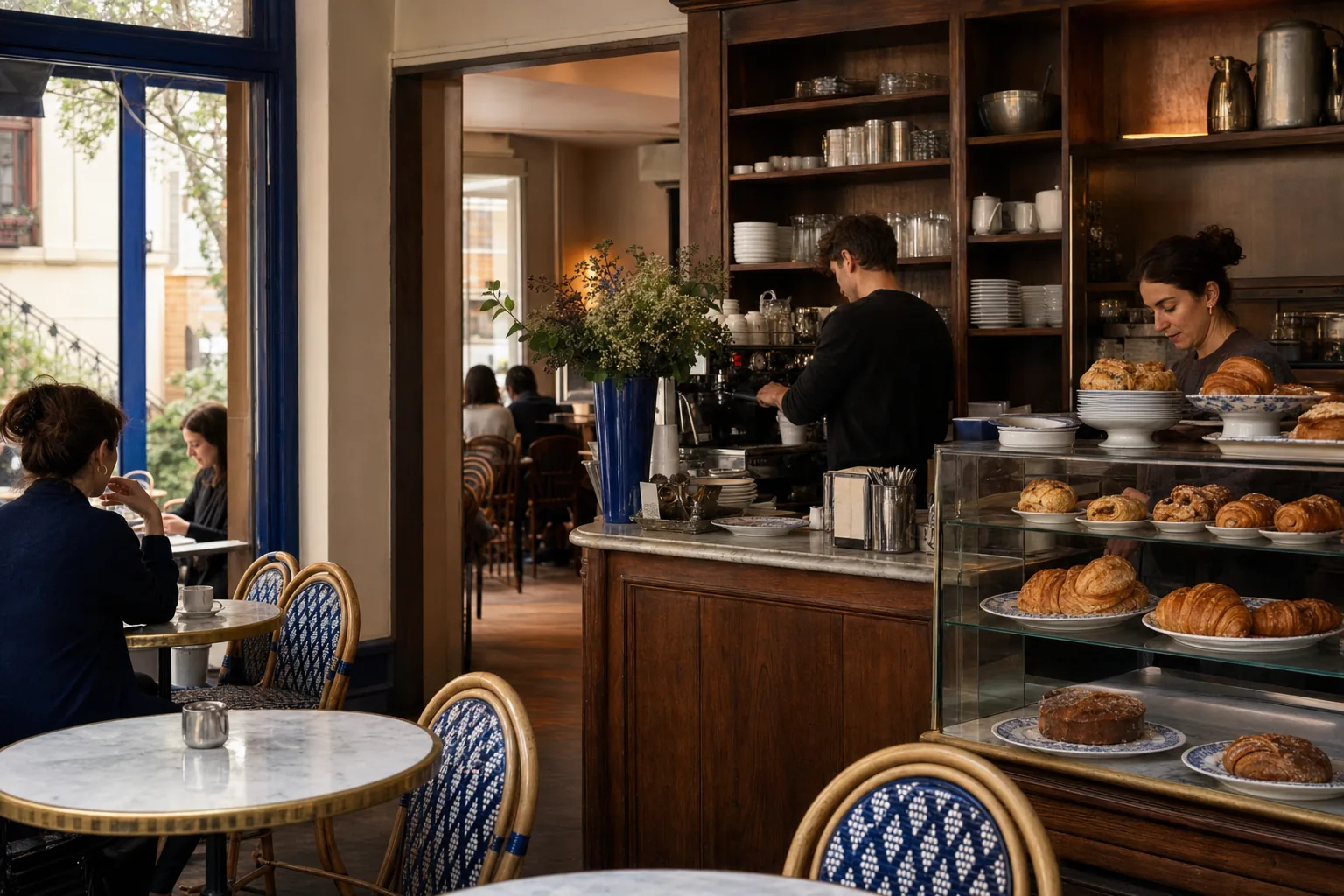
We see that mix in East Harlem every day. Frenchy Coffee NYC is a family-owned French café and bakery at 129 East 102nd Street, founded by Perrine and Aurélien, who come from Évian-les-Bains in the French Alps. It’s one small part of a neighborhood where local life and many cultural traditions meet.
Parks, Museums, and Landmarks to Understand the Area
Green space and cultural sites give Upper Manhattan much of its shape. Riverside Park follows the Hudson, Fort Tryon Park and Inwood Hill Park sit on high ground in the north, and Marcus Garvey Park rises in the middle of Harlem.
Some museums sit inside public green spaces: The Met Cloisters is in Fort Tryon Park, which makes it a natural anchor for a visit. Their settings can make a museum outing feel different from a quick stop on a route through central Harlem. Plan time for a nearby park as part of the visit, and check hours before you go.
In Harlem, the Apollo Theater and the Schomburg Center for Research in Black Culture make a separate outing. Hamilton Grange, Alexander Hamilton’s home, adds another kind of history in Hamilton Heights. In East Harlem, El Museo del Barrio on Fifth Avenue offers another reason to explore the area. Museum Mile runs along Fifth Avenue beside the park, and the area’s museums are easier to plan as a focused visit. For route planning, see this guide.
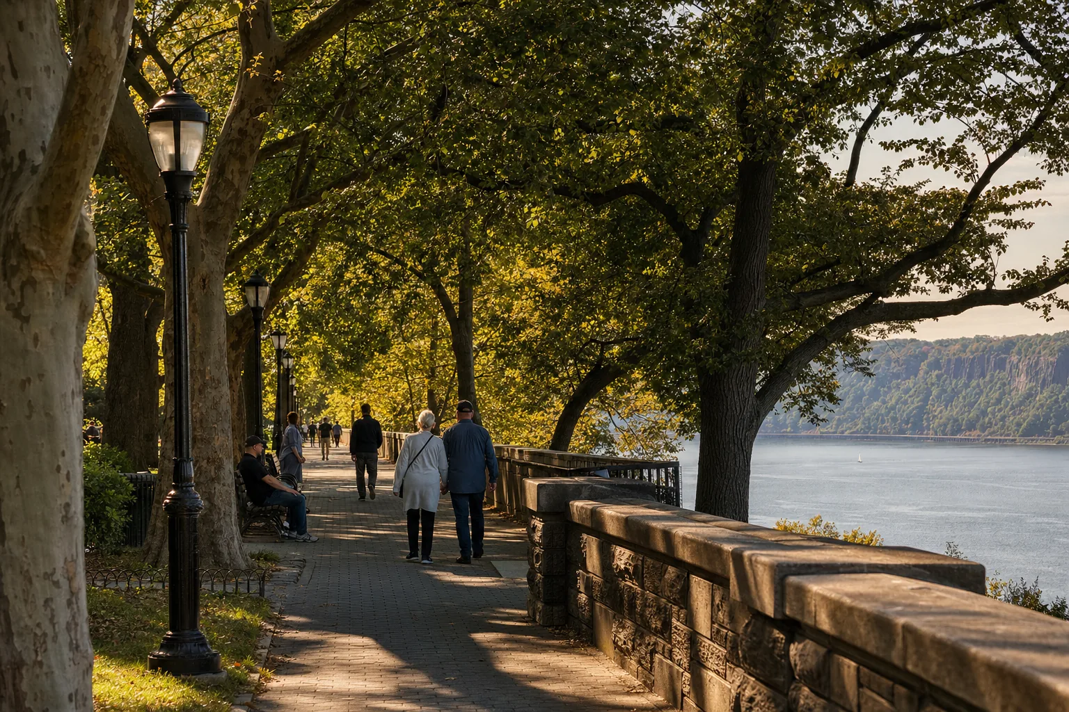
It helps to group places by location. Fort Tryon Park and The Met Cloisters fit together as one outing. Harlem’s cultural landmarks make a separate outing. Museum Mile and East Harlem can work as a day that crosses the park’s northern stretch, but check museum hours and transit before you go.
For city park information, consult the park directory. Use official listings to confirm current details before setting off.
When you want a nearby café stop after a museum or neighborhood walk, Frenchy Coffee NYC is in East Harlem, near the Upper East Side. The café makes pastries and savory bakes on-site, and its French grocery shelf offers another small local stop along the way.
Getting Around and Finding Everyday Local Stops
Subways and buses cover the major corridors, but the best route depends on your exact destination. Upper Manhattan stretches a long way north and south. A trip from East Harlem to Inwood is not the same as a short walk between two nearby Harlem landmarks.
Use the nearest station and cross street when you plan. West Side subway lines serve Harlem, Washington Heights, and Inwood. East Side trains run through East Harlem and connect to areas farther south. Bus routes can help when a station is not close to your destination, especially around parks and hills.
There’s also a simple local habit worth keeping: check the direction of travel before boarding. “Uptown” means northbound on the subway, while “downtown” means southbound. Those labels don’t tell you which neighborhood you’re entering, and several stations may share a broad area name.
Walking works well when sights sit near one another, but don’t assume a straight route is always easiest. A park may have a limited set of entrances, and a steep street can take more effort than its map distance suggests. For a long day, plan one main area first, then add a nearby stop if you still have time.
Everyday stops are part of the visit, too. A bakery or café can make a useful break between a museum and a park, or give you a place to pause before heading back to the subway. Frenchy Coffee NYC is at 129 East 102nd Street in East Harlem. It’s open weekdays from 7 a.m. to 5 p.m. and weekends from 8 a.m. to 4 p.m.
We also make catering boxes for office gatherings and events, with boxes from $30. Many of our orders go to teams at Mount Sinai Hospital next door. For a neighborhood stop, visit the café’s East Harlem page to plan your route.
Give yourself enough time to cross between neighborhoods. A map may make the area look compact, but the rivers, hills, park boundaries, and distance between stations all affect how a day feels on foot.
Frequently Asked Questions About Upper Manhattan
What neighborhoods are in Upper Manhattan?
Upper Manhattan commonly includes Harlem, East Harlem, Washington Heights, and Inwood. Depending on the map, it can also include Morningside Heights, Manhattan Valley, and Marble Hill. The southern boundary varies by definition, so check an address or nearby station when planning a specific visit.
Where does Upper Manhattan start?
There isn’t one fixed starting point. Some definitions begin north of 96th Street, while others use 110th, 125th, or 155th Street. The difference reflects how broadly the term is being used. For a trip, the destination’s cross streets are more helpful than a regional label alone.
Is Harlem the same as East Harlem?
No. Harlem and East Harlem are distinct neighborhoods, though people sometimes use “Harlem” broadly. East Harlem is also known as Spanish Harlem or El Barrio and has its own cultural history. Check the address when visiting, since the two areas sit on different sides of central Harlem.
What can I visit in northern Manhattan?
Northern Manhattan has The Met Cloisters in Fort Tryon Park, Inwood Hill Park, the Morris-Jumel Mansion, and Harlem landmarks such as the Apollo Theater. Pick one area as your main stop, since the sights are spread across a large part of the borough.
Is Upper Manhattan easy to explore on foot?
Some parts are easy to walk, especially when you group nearby sights. But the region is large, and hills, park entrances, and river crossings can add time. Choose a neighborhood cluster, check the route before leaving, and use the subway or bus when the next stop is far away.
Conclusion
Pick one neighborhood cluster and build your day around it; you’ll get a clearer feel for the area than by rushing across the whole north end of Manhattan. If your plans bring you through East Harlem, stop by Frenchy Coffee NYC at 129 East 102nd Street for a café break.